
파일:DSC28372, Cannery Row, Monterey, California, USA (6062142304).jpg
원본 파일 (2,736 × 3,648 픽셀, 파일 크기: 2.48 MB, MIME 종류: image/jpeg)
.jpg)
파일 설명
| 설명 |
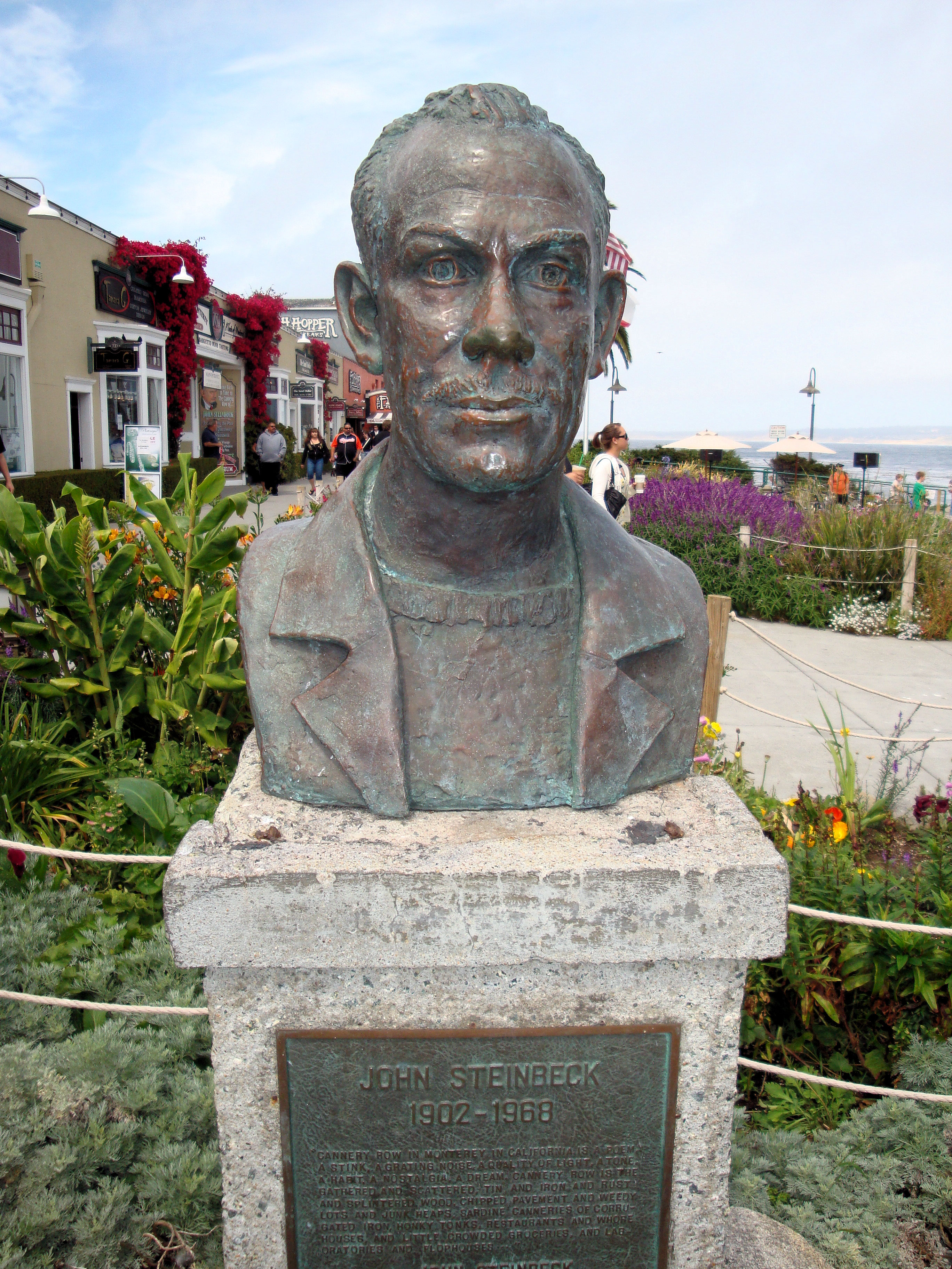
Welcome to Cannery Row, one of the most beautiful coastal areas in the country. Monterey visitors rank Cannery Row as their favorite spot on the Peninsula. Immortalized by John Steinbeck’s classic novel, Cannery Row’s world-renowned heritage is found in the distinctive architecture that is reminiscent of earlier days. The cross-overs that used to carry sardines are now your path to a wealth of exciting shopping and dining experiences. The Monterey Bay National Marine Sanctuary is one of our nation’s treasured underwater parks. Each of the 14 marine sanctuaries protects a special underwater or coastal environment. The Sanctuary extends an average of 35 miles offshore, covers over 5300 square miles, and possesses an astonishingly diverse array of marine life, including 26 species of marine mammals, 345 species of fish and 4 species of turtles. Cannery Row is an ocean side playground filled with fun for everyone. Outdoor recreation abounds on land and in the water. Visitors are invited to explore the beauty of Monterey Bay’s rocky shores and marine life with kayaking, diving and tide pooling. The lineup of restaurants on the Cannery Row includes award winners and who’s who in the world of culinary trends. You will find temptations for every craving with a collection of restaurants ranging from casual to gourmet. Cannery Row has long been known as the place to go for distinctive souvenirs of the Monterey Peninsula. What has always remained constant on Cannery Row is the presence of small, independently owned stores, which carry items you are not likely to find anywhere else. |
| 날짜 | |
| 출처 |
DSC28372, Cannery Row, Monterey, California, USA
|
| 저자 | Jim G from Silicon Valley, CA, USA |
| 카메라 위치 | | 이 지역의 다른 사진을 보기: OpenStreetMap |
|---|
.jpg¶ms=036.617336_N_-121.901378_E_globe:Earth_type:camera_source:Flickr_&language=ko)
라이선스
- 이용자는 다음의 권리를 갖습니다:
- 공유 및 이용 – 저작물의 복제, 배포, 전시, 공연 및 공중송신
- 재창작 – 저작물의 개작, 수정, 2차적저작물 창작
- 다음과 같은 조건을 따라야 합니다:
- 저작자표시 – 적절한 저작자 표시를 제공하고, 라이센스에 대한 링크를 제공하고, 변경사항이 있는지를 표시해야 합니다. 당신은 합리적인 방식으로 표시할 수 있지만, 어떤 방식으로든 사용권 허가자가 당신 또는 당신의 사용을 지지하는 방식으로 표시할 수 없습니다.
| 플리커에 게시된 이 그림은 2013년 3월 31일에 관리자 혹은 신뢰된 사용자 File Upload Bot (Magnus Manske)에 의해 검토되어, 이 날짜를 기준으로 위의 라이선스로 사용 가능함이 확인되었습니다. |
파일 역사
날짜/시간 링크를 클릭하면 해당 시간의 파일을 볼 수 있습니다.
| 날짜/시간 | 섬네일 | 크기 | 사용자 | 설명 | |
|---|---|---|---|---|---|
| 현재 | 2013년 4월 1일 (월) 01:09 | | 2,736 × 3,648 (2.48 MB) | File Upload Bot (Magnus Manske) | Transferred from Flickr by User:Josve05a |
이 파일을 사용하는 문서
이 파일을 사용하는 문서가 없습니다.
이 파일을 사용하고 있는 모든 위키의 문서 목록
다음 위키에서 이 파일을 사용하고 있습니다:
- en.wikiquote.org에서 이 파일을 사용하고 있는 문서 목록
.jpg)